UAV toolkit
The UAV toolkit is an experimental android application for making use of your smartphone's sensors for airborne science. Its main purpose is using visually programmed time or space based triggers to capture images with associated sensor data for further processing. Designed in conjunction with Karen Anderson at Exeter University with the help of the Westcountry Rivers Trust for creating maps using drones, radio controlled aircraft and kites.
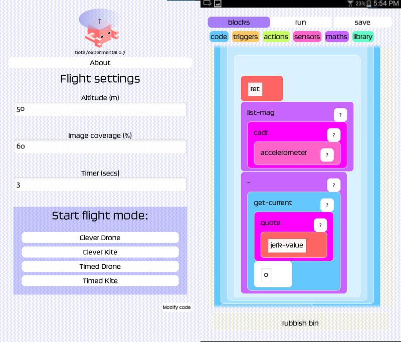
The UAV toolkit has an open ended touchscreen based visual programming system aimed at being flexible enough to be used in ways and places we can’t predict. For example in crisis situations, where power, networking or hardware is not available to set up remote sensing devices when you need them the most. Katie Threadgill from Westcountry Rivers Trust has written a user guide to the application.
The idea of appropriate technology has become an important philosophy for projects we are developing, in conjunction with unlikely connections in livecoding - providing open source technology designed for environmental, low cost and locally controlled applications.
Created: 10 Nov 2015 / Updated: 15 Jul 2021